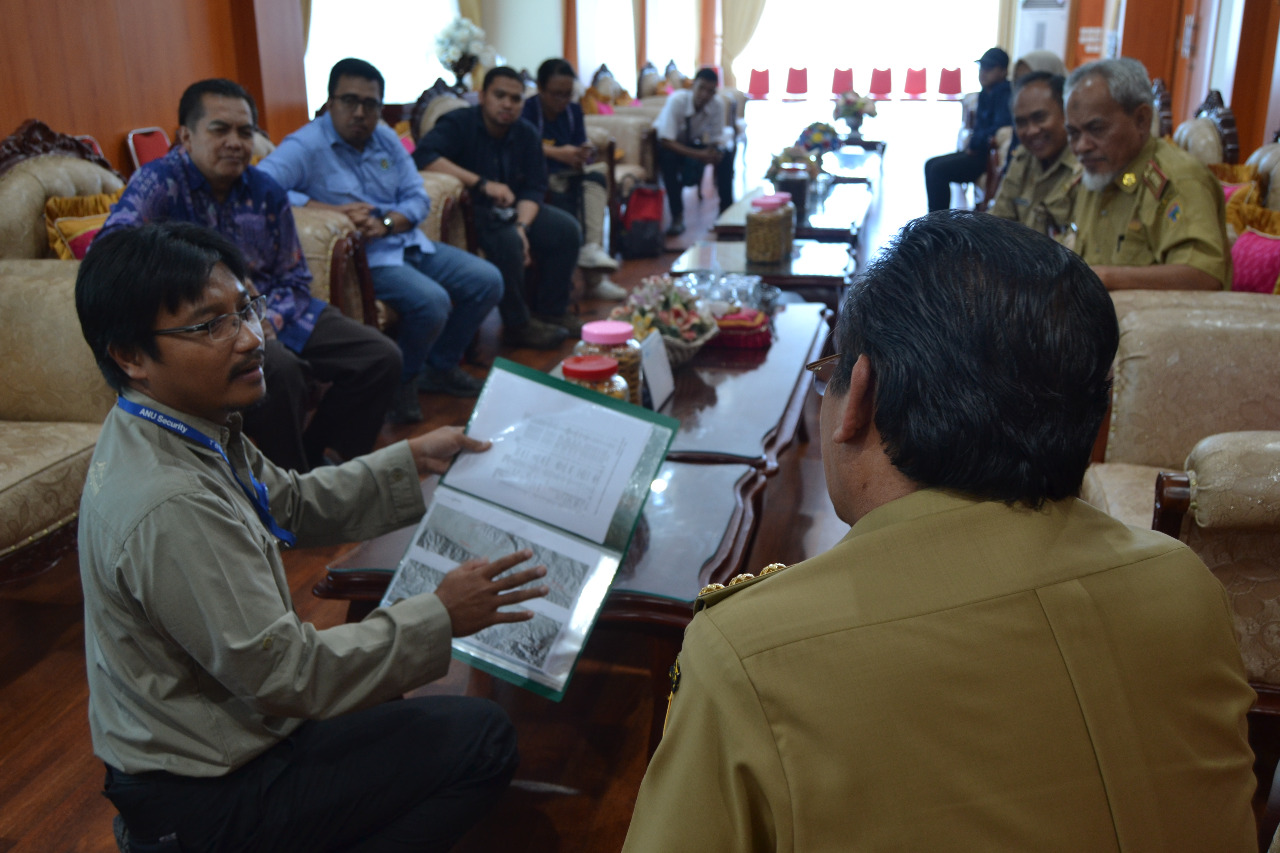
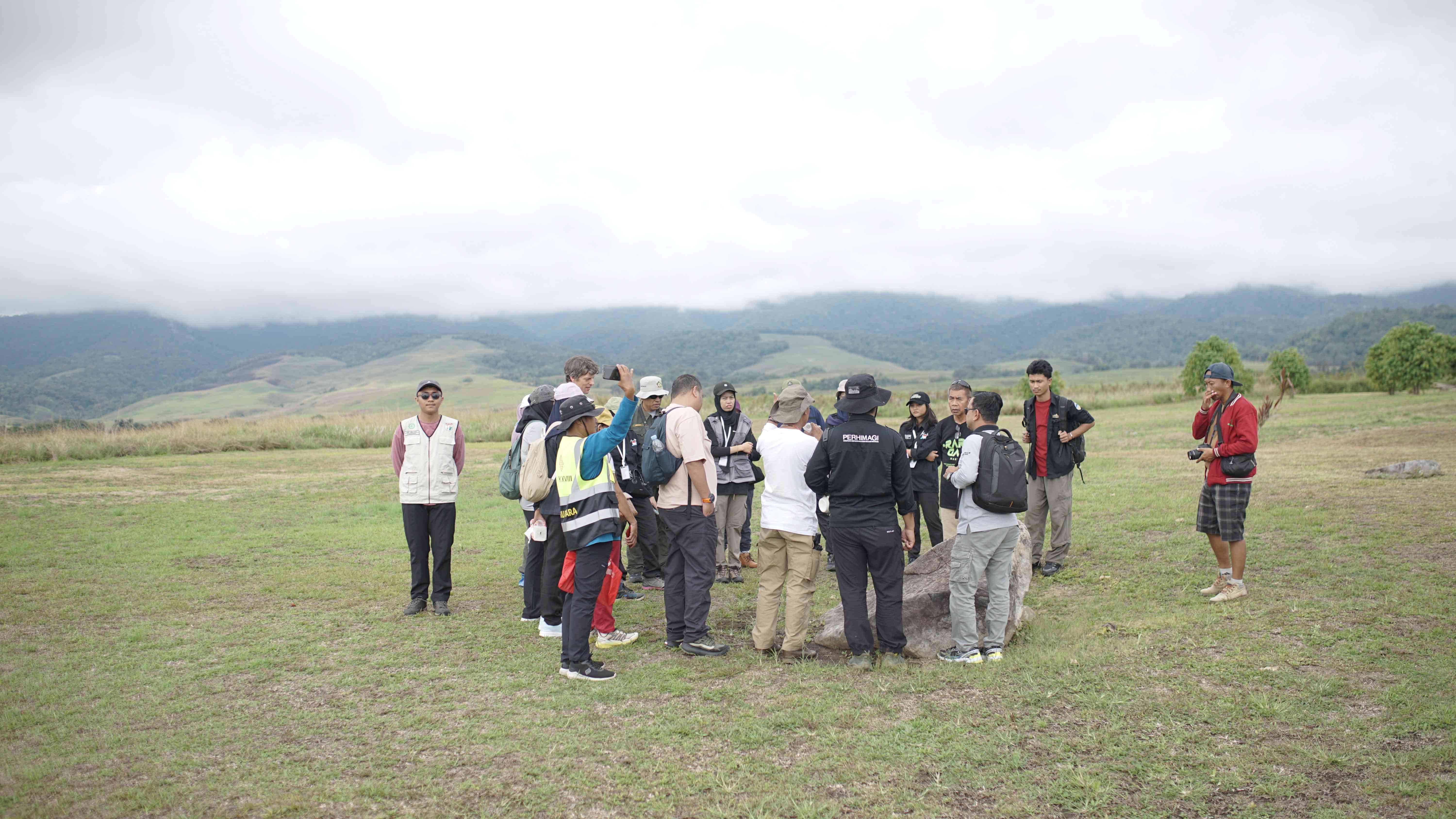
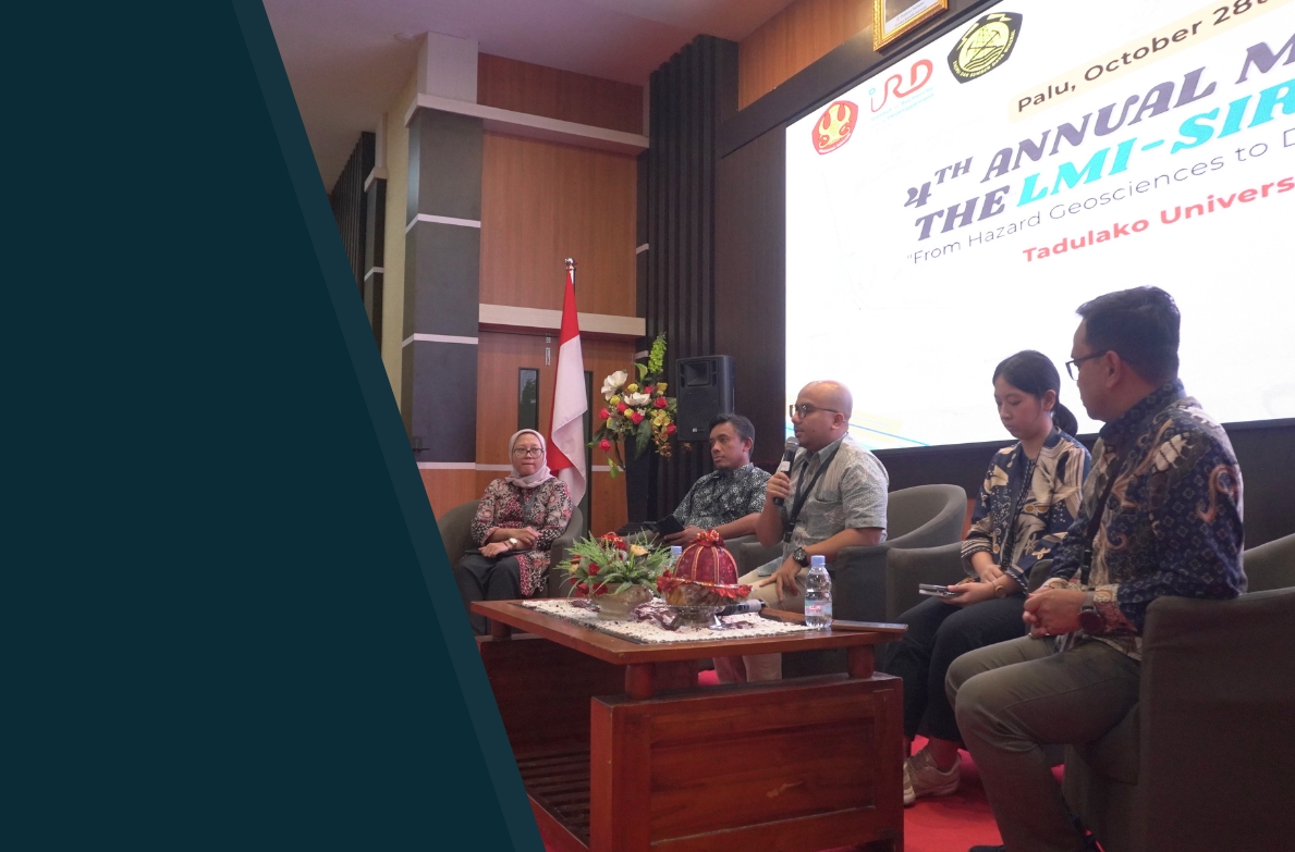
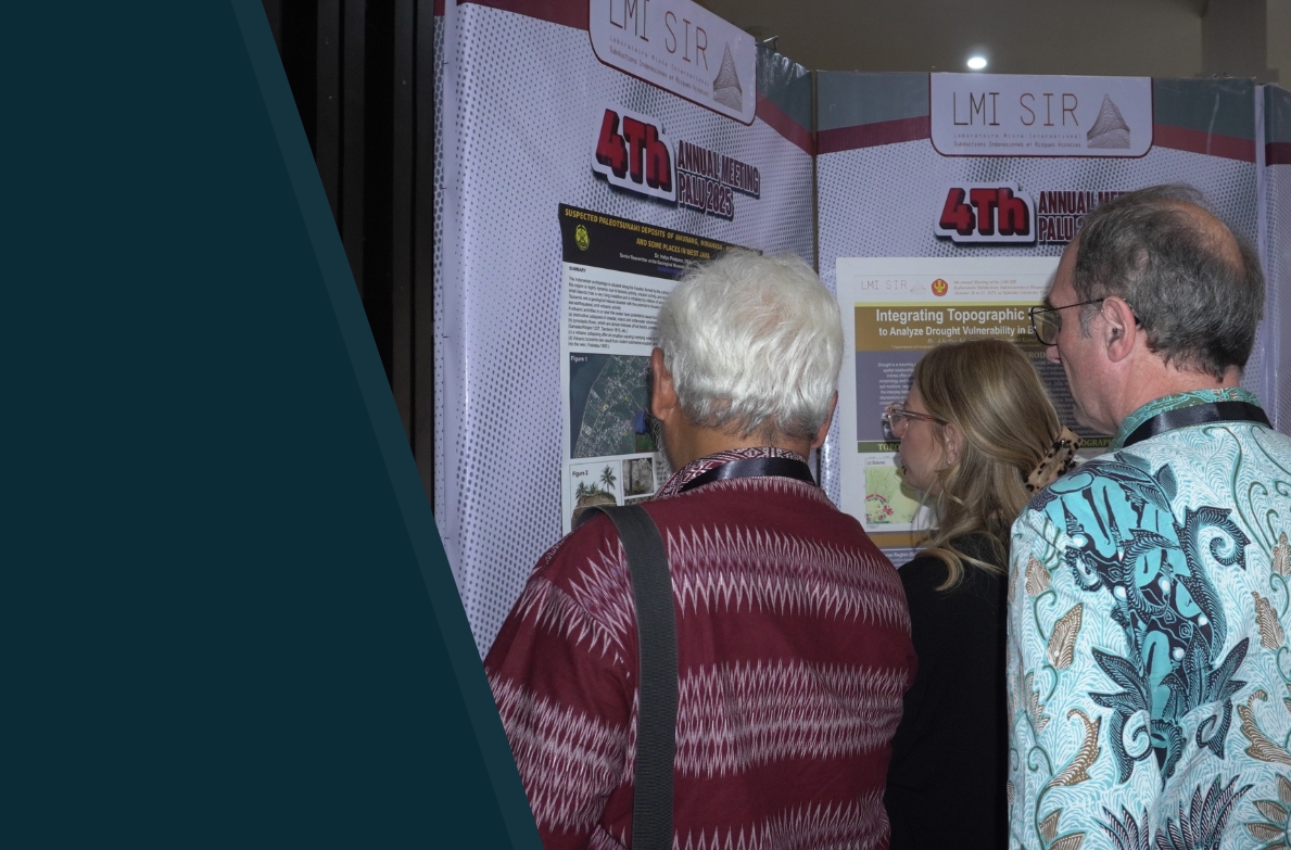
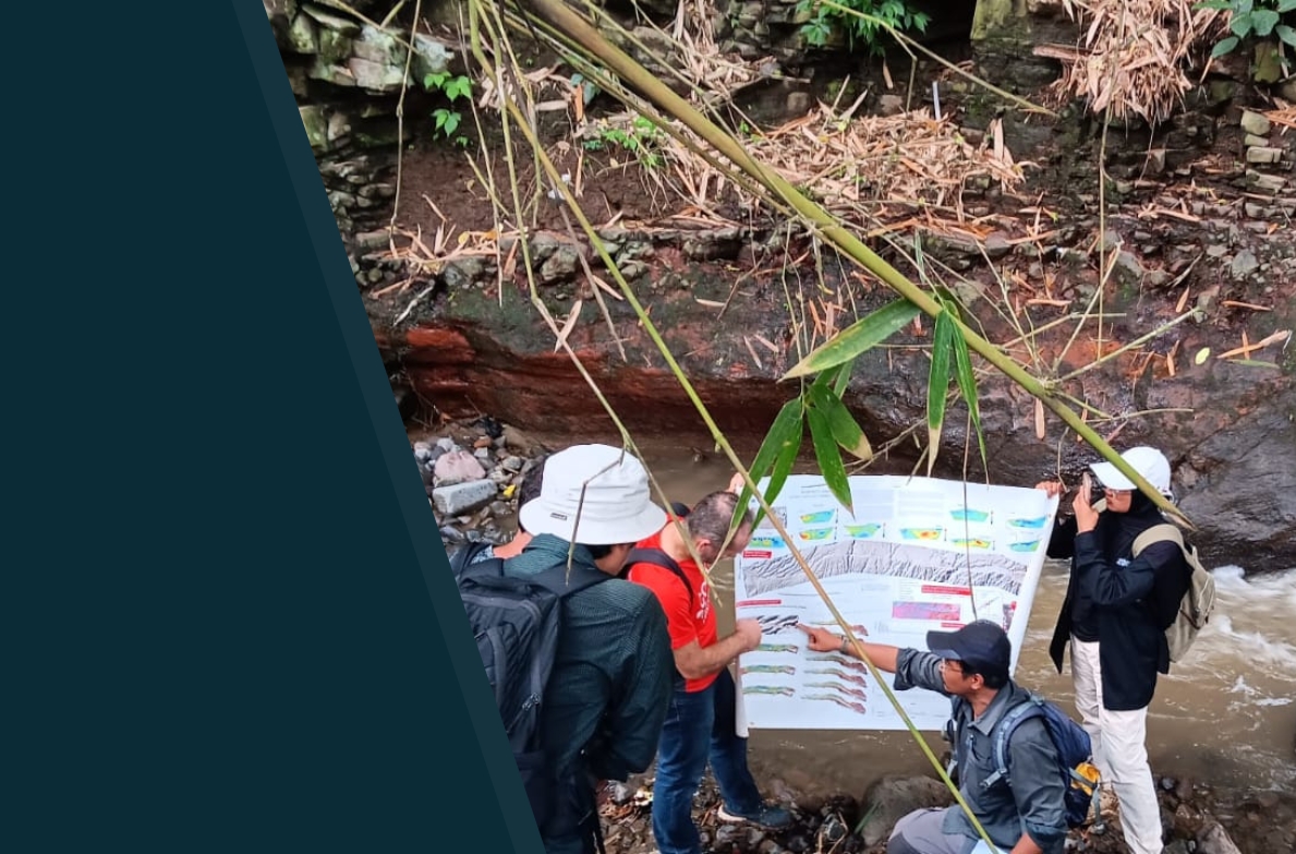
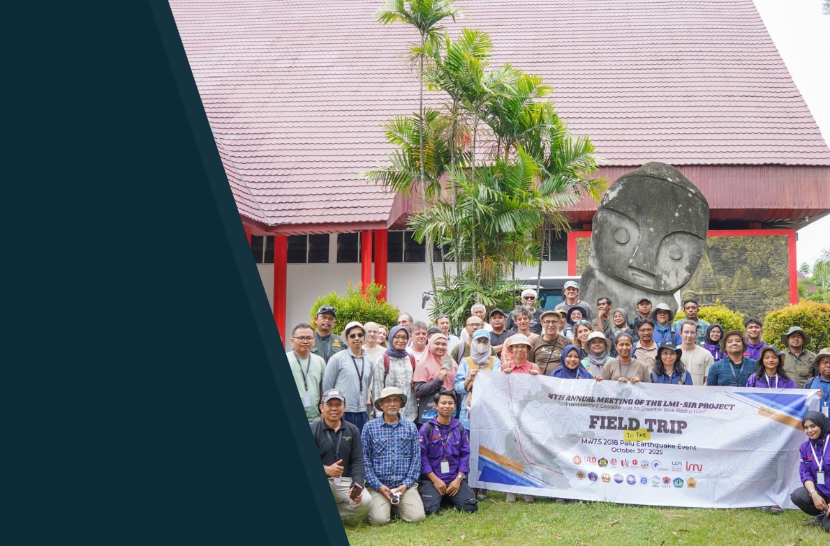
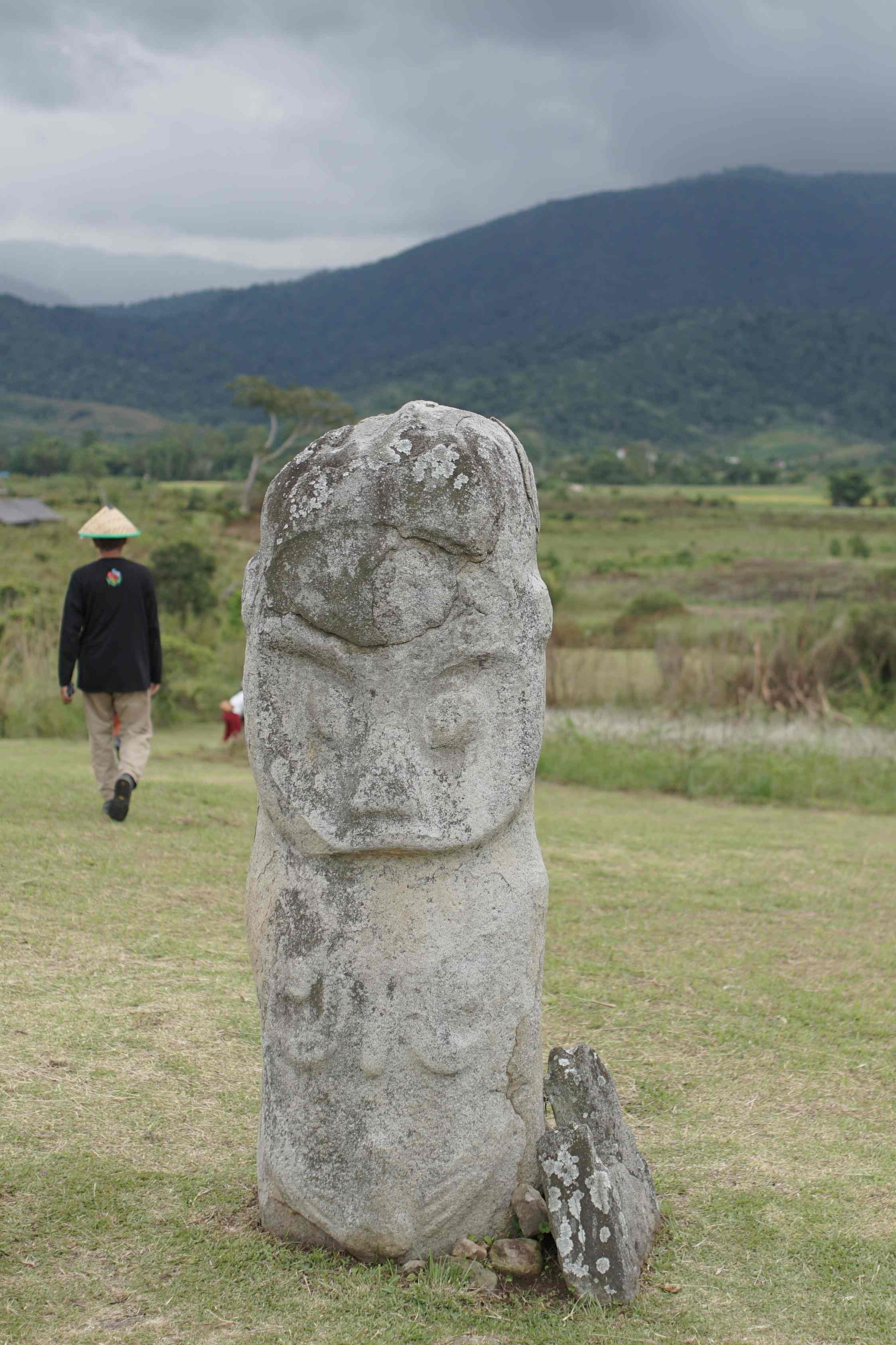
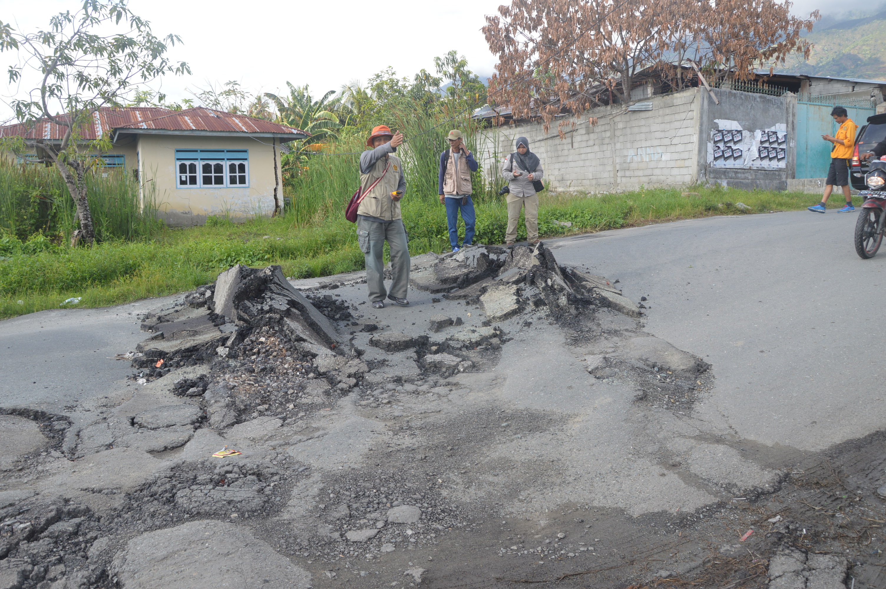
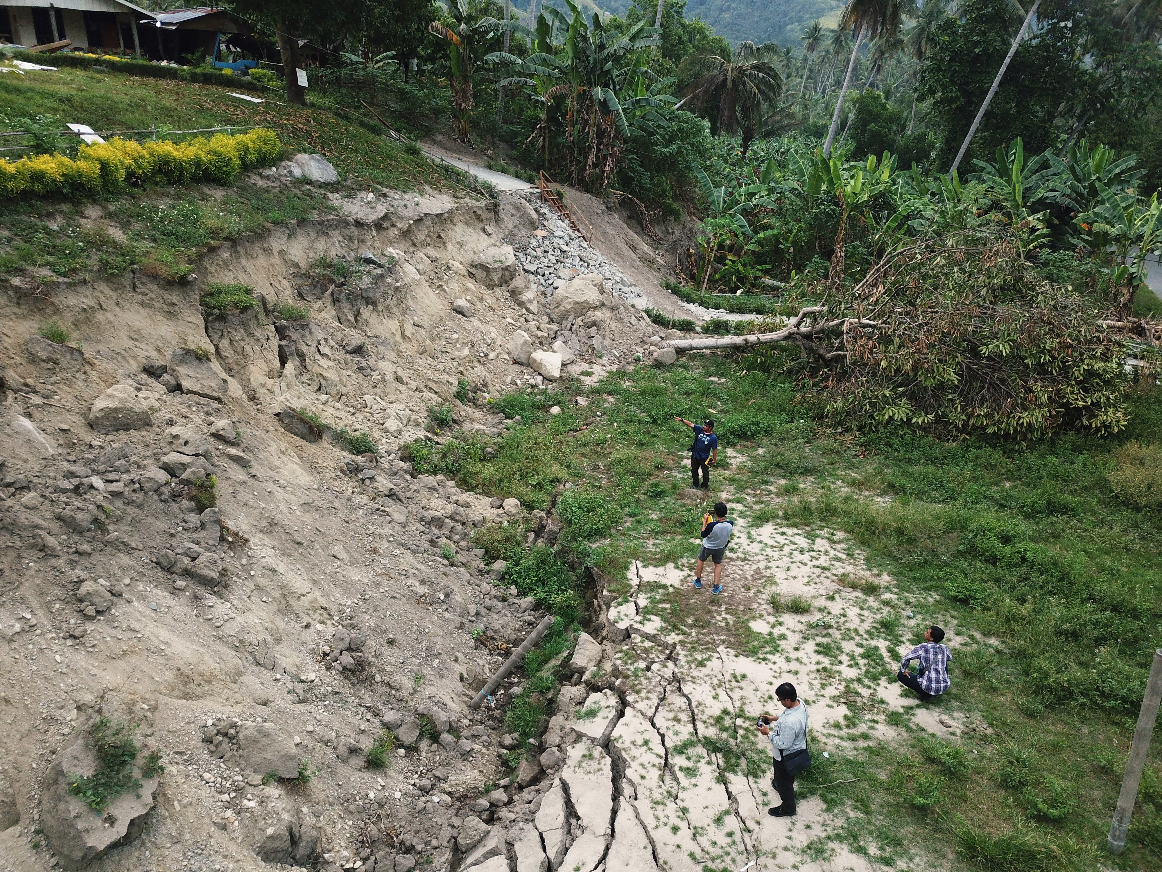
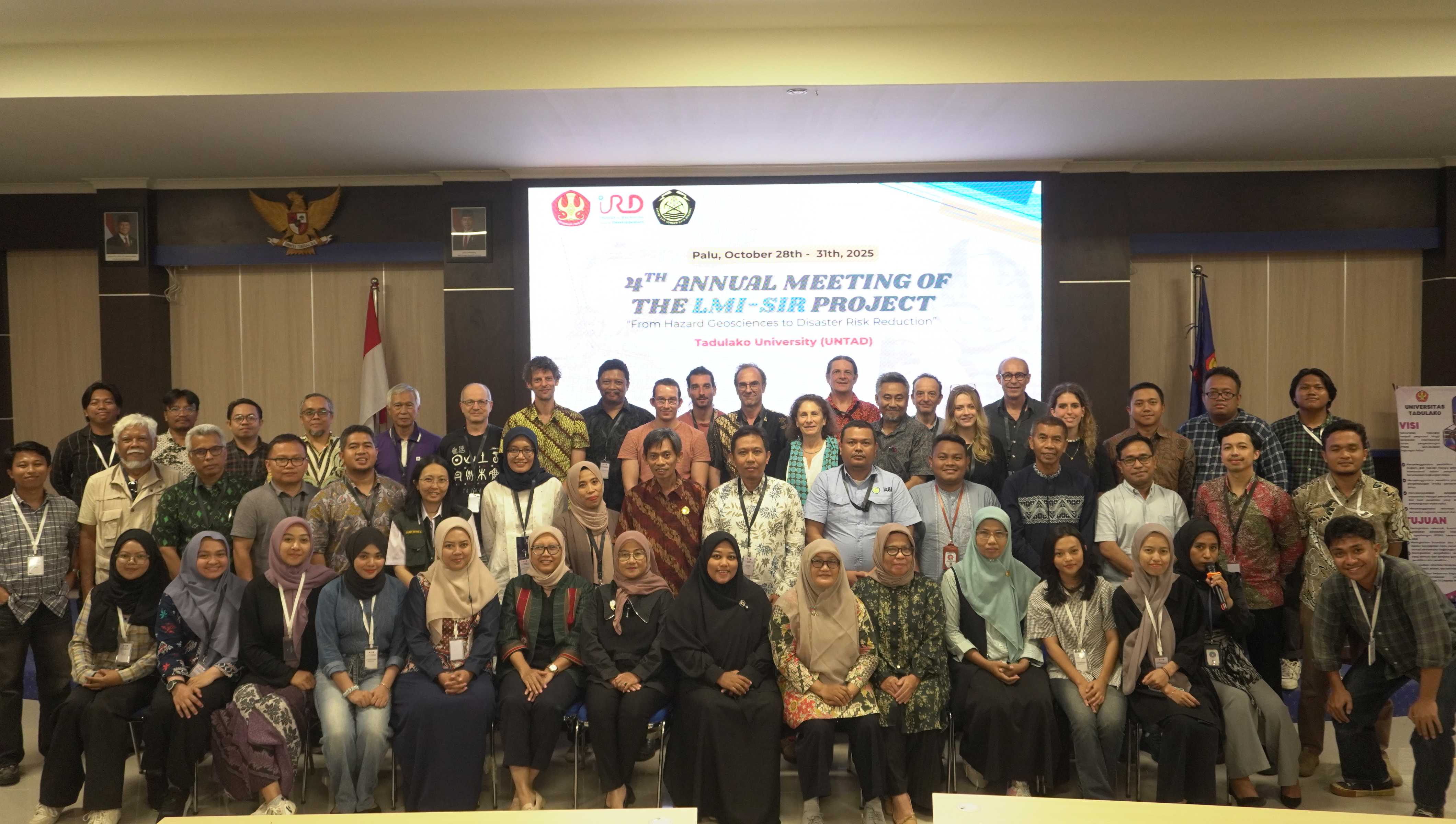
image image image
image
"From Hazard Geosciences to Disaster Risk Reduction"

5th Annual Meeting of the

LMI-SIR Project
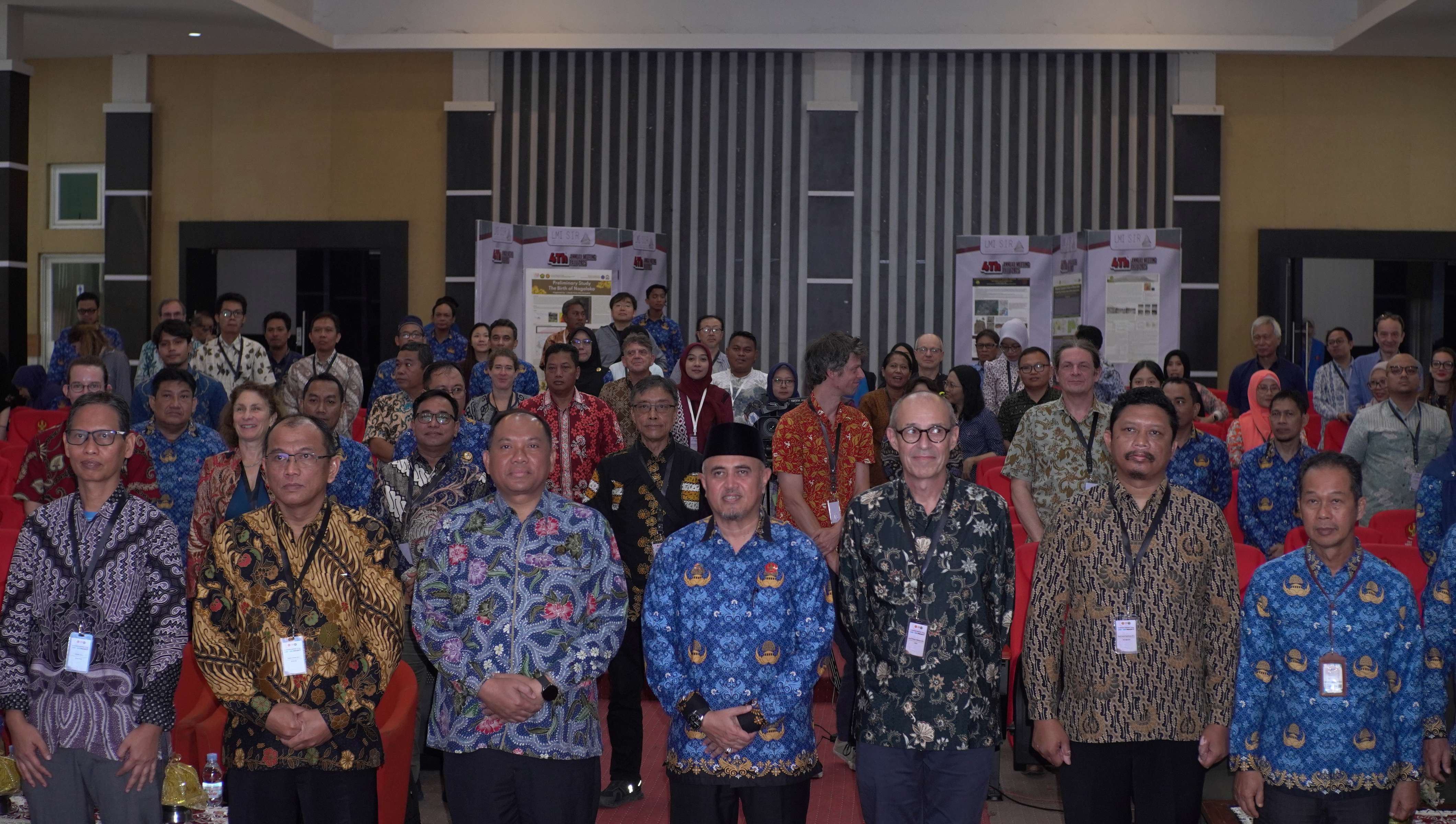
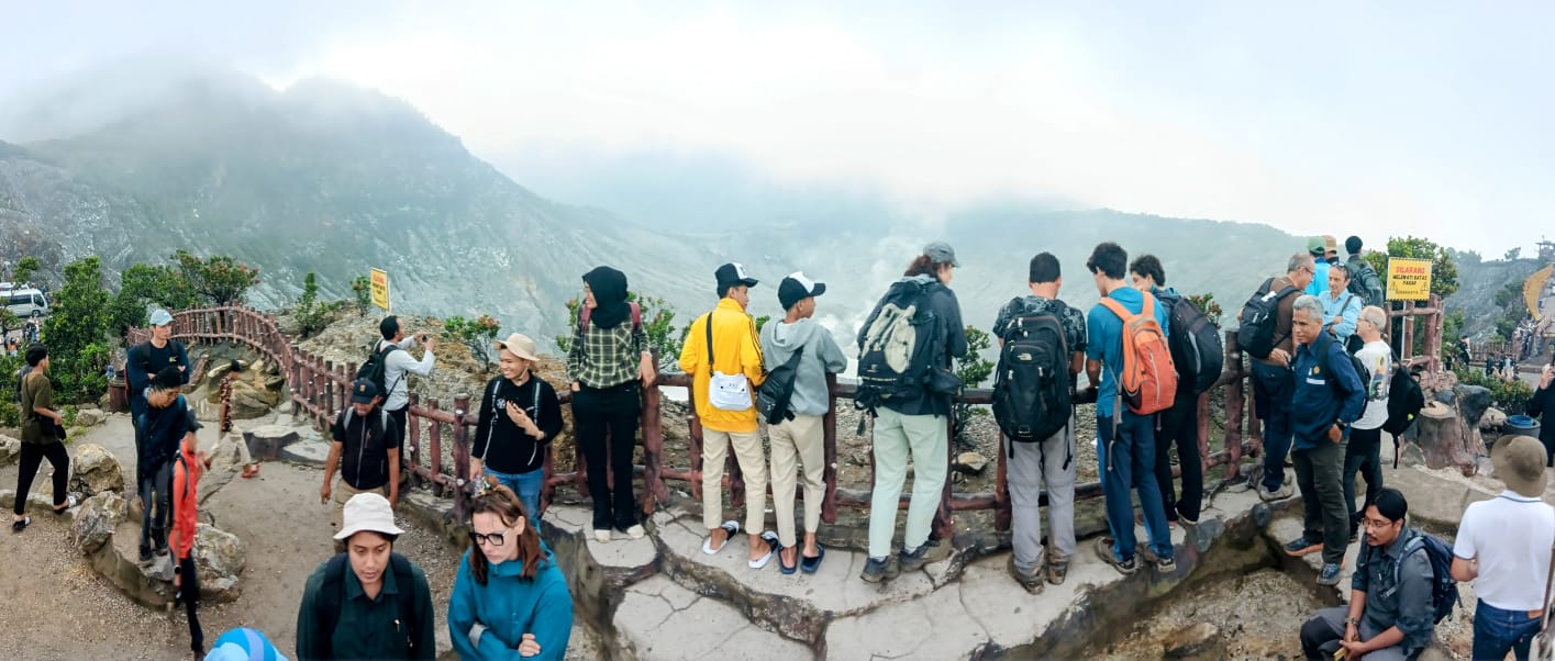
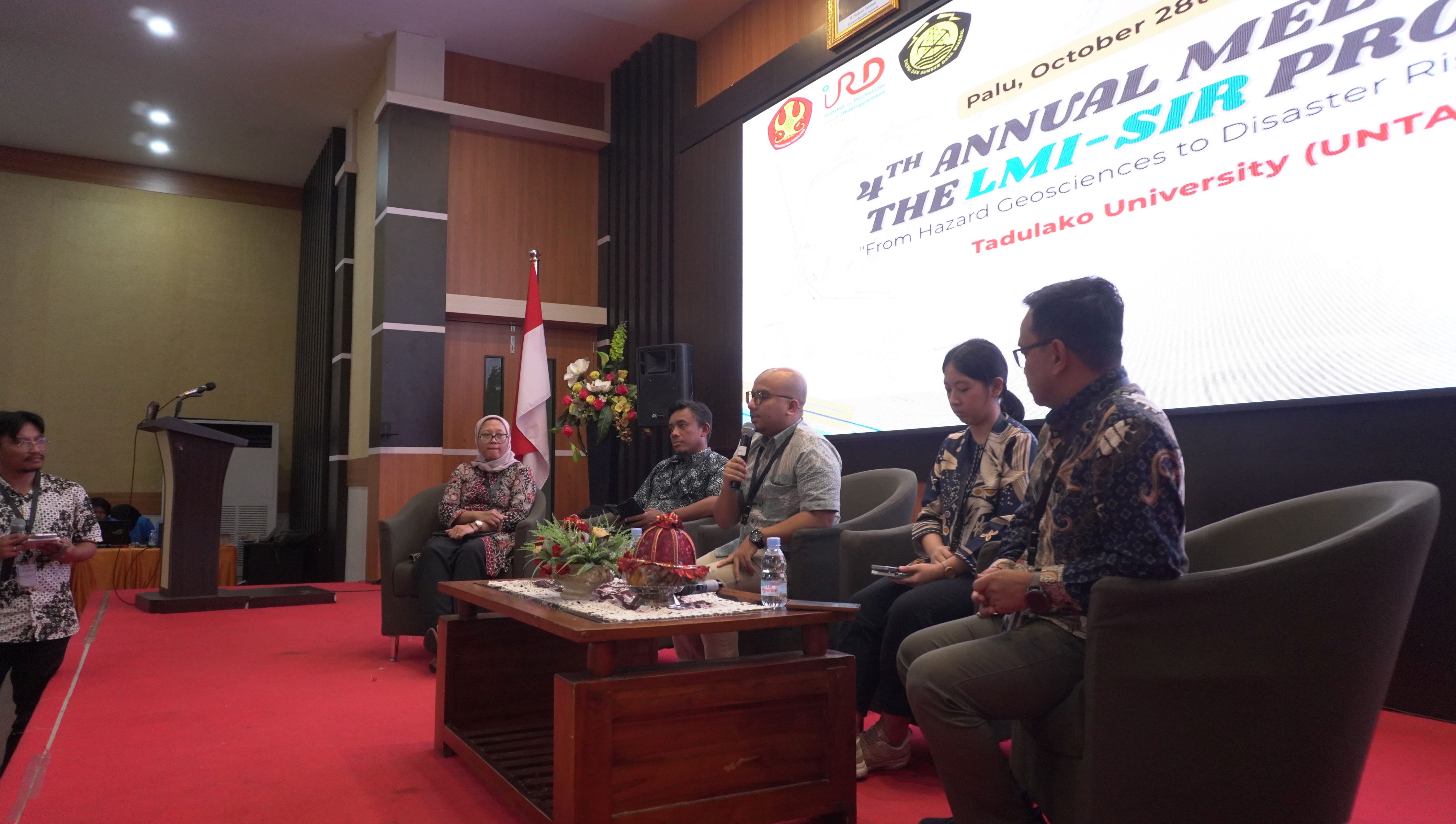
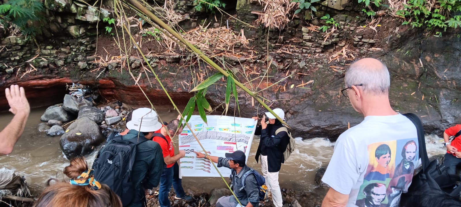
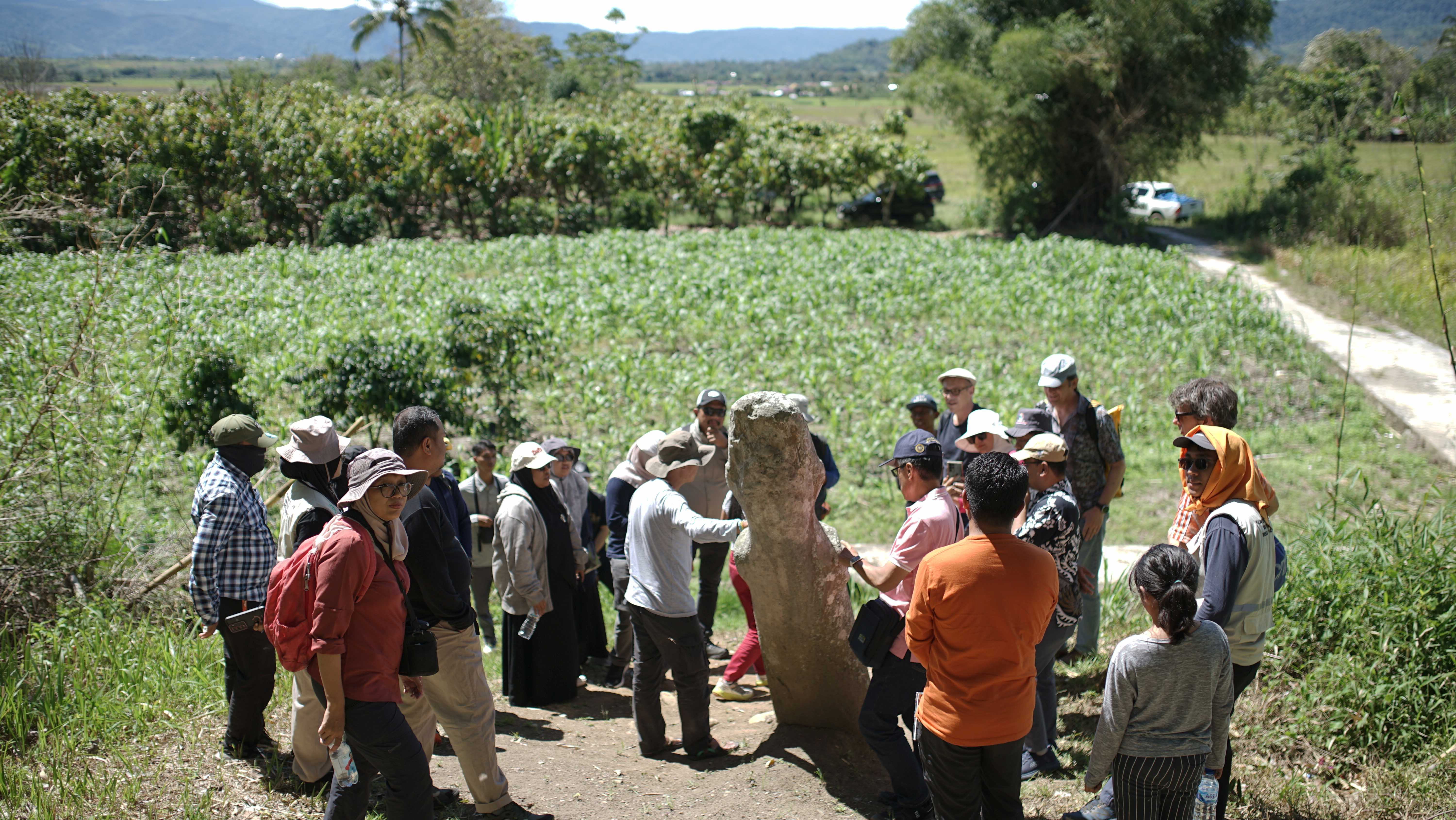
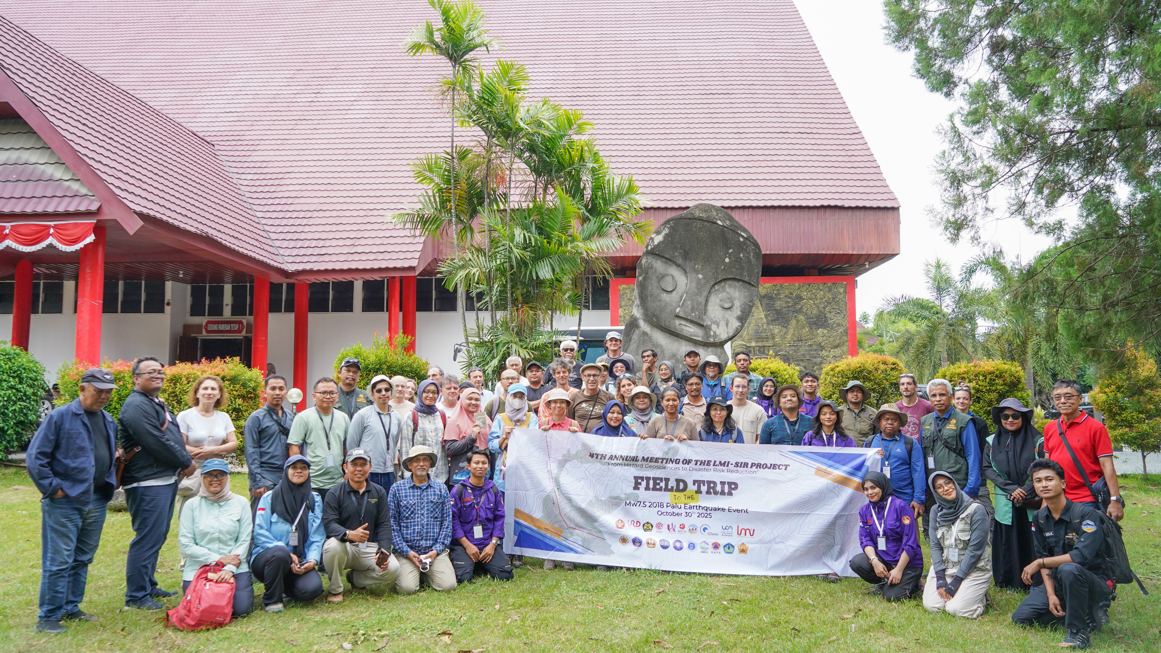
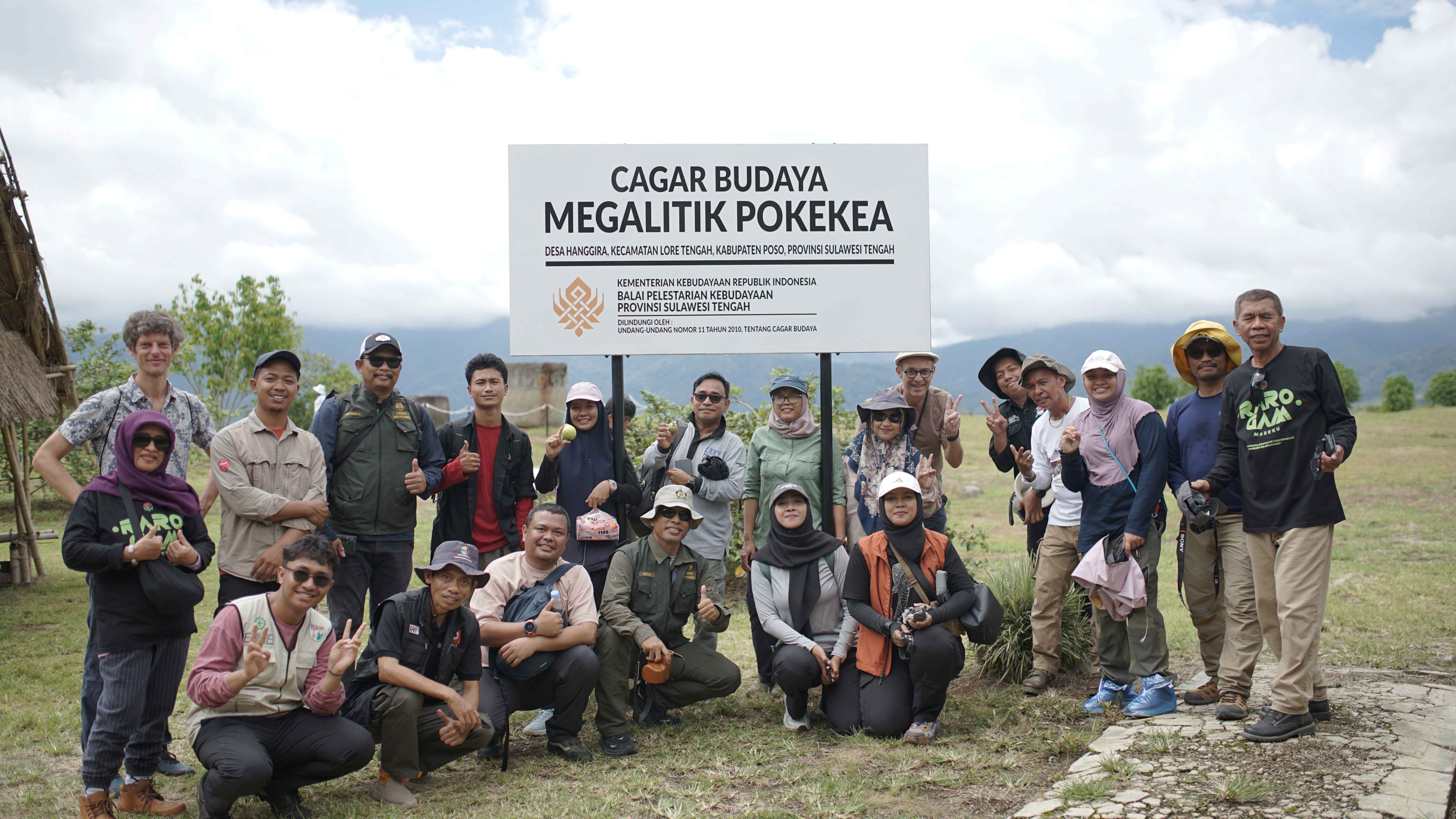
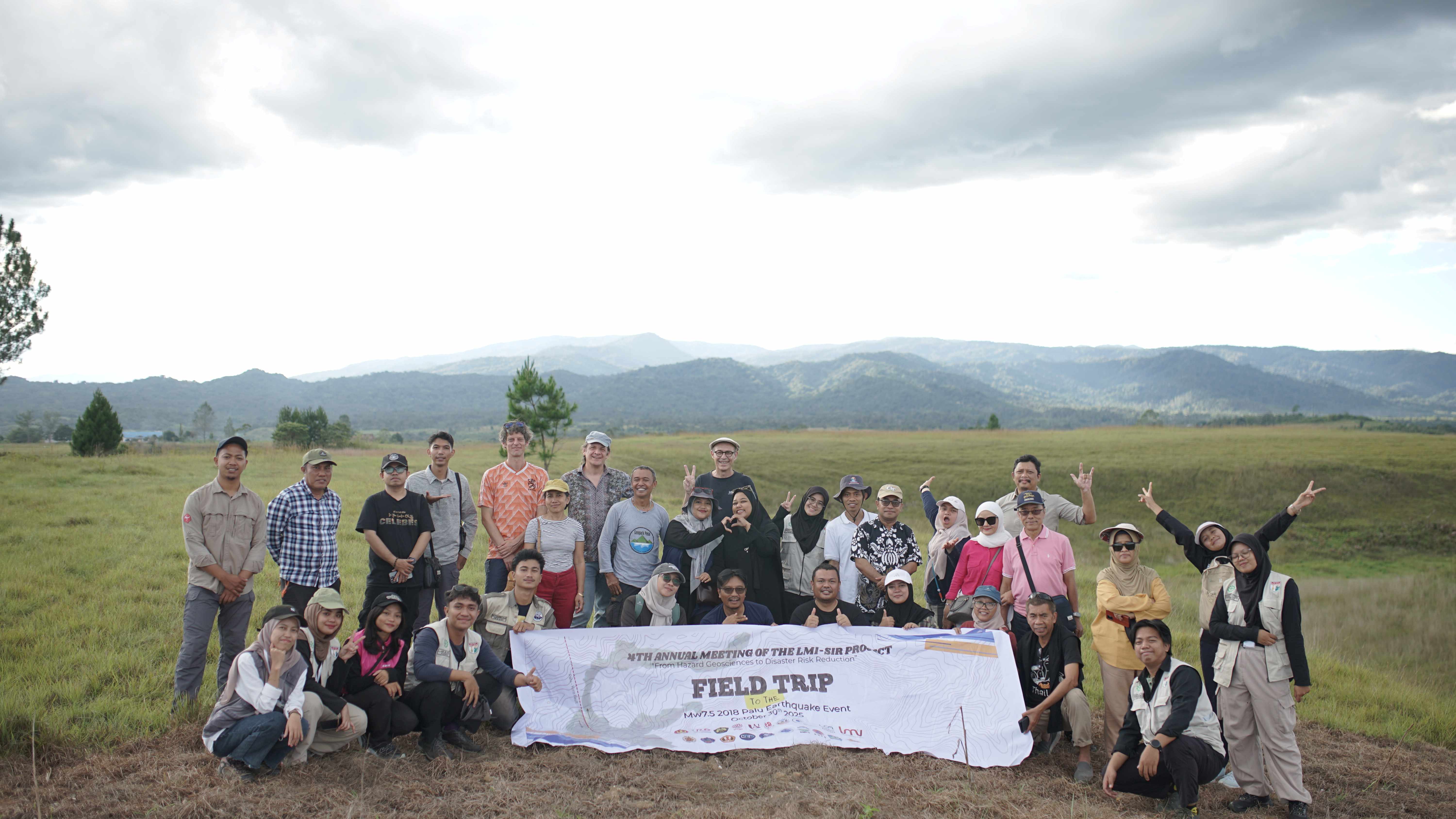
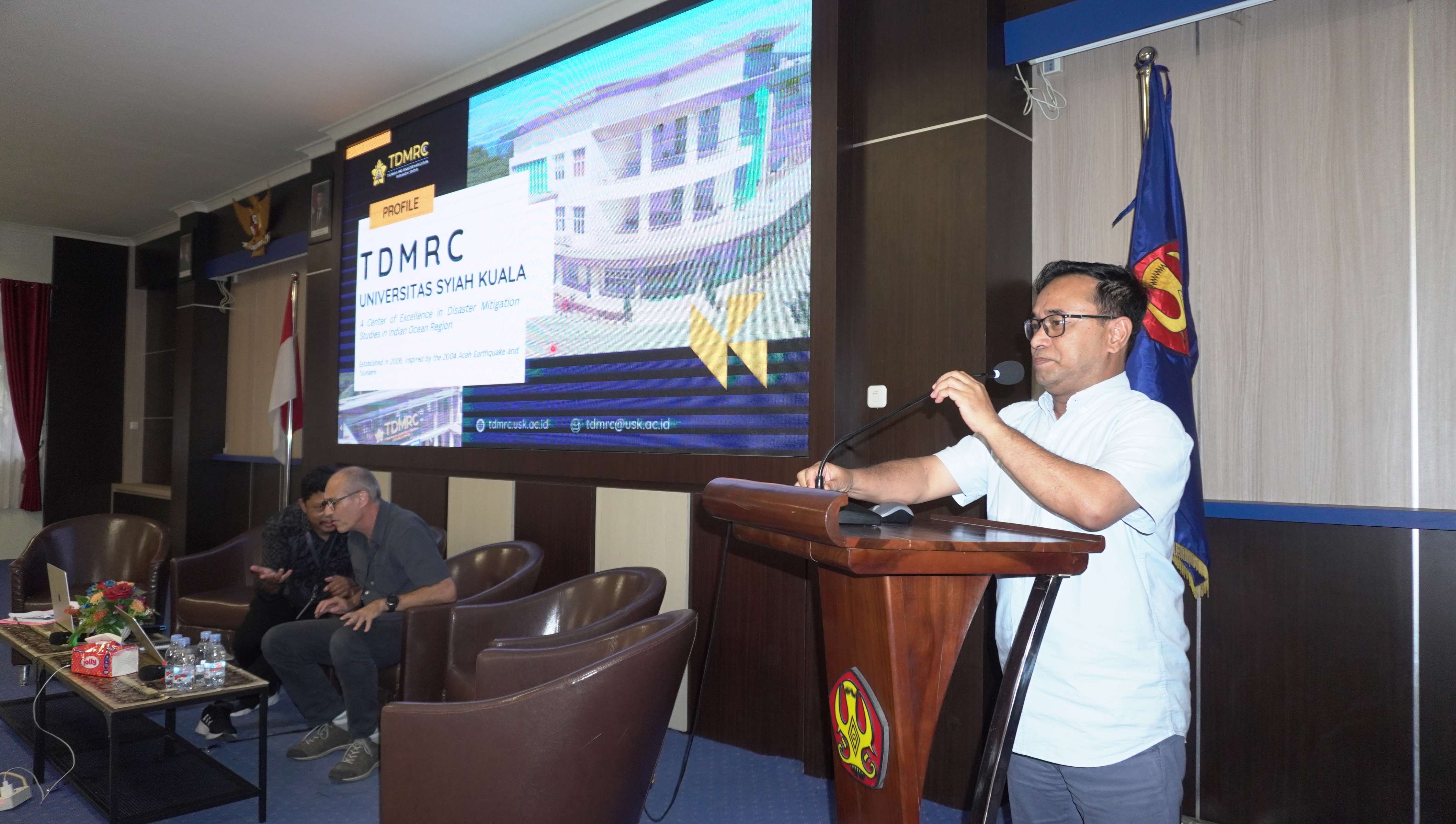
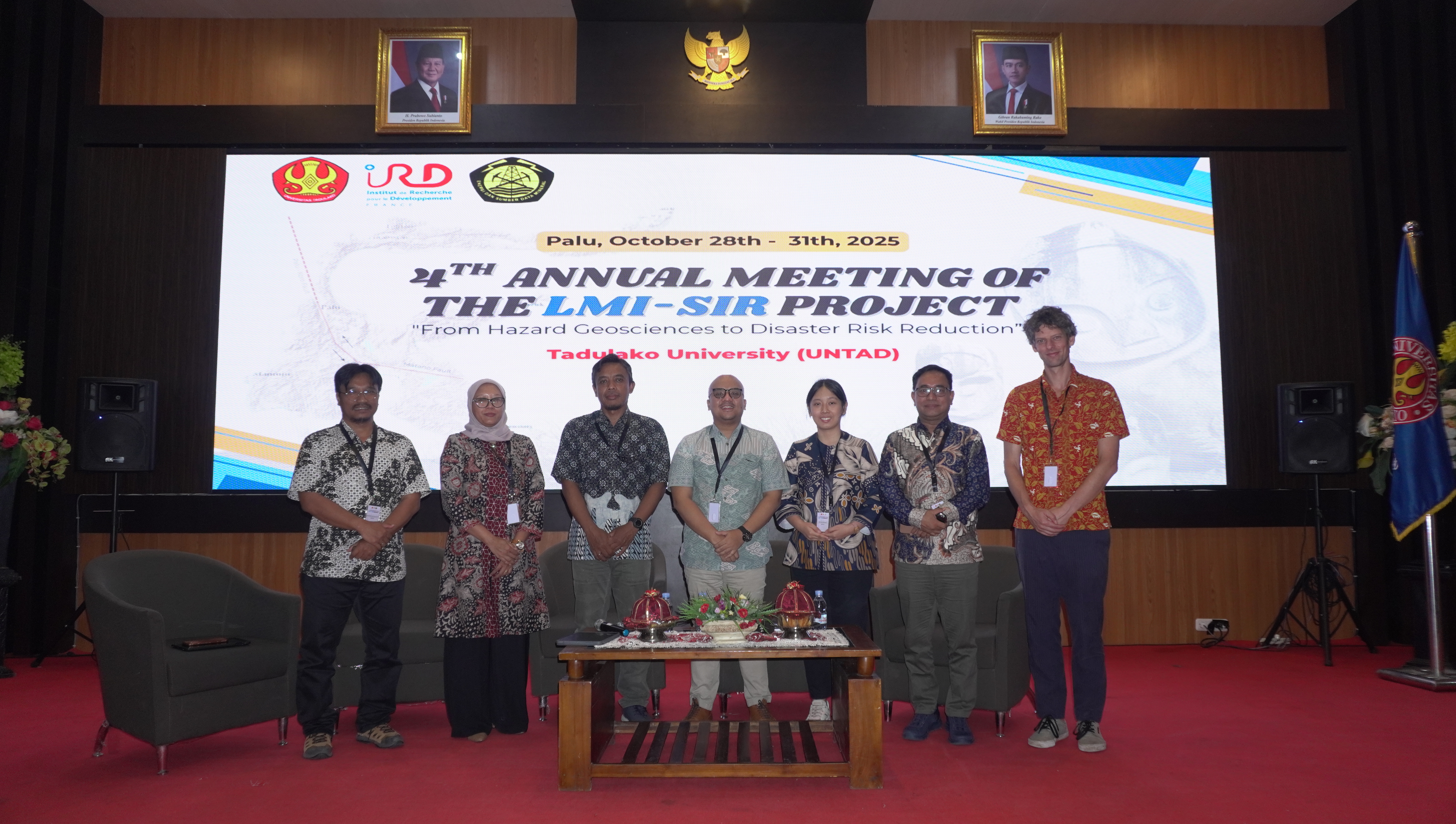
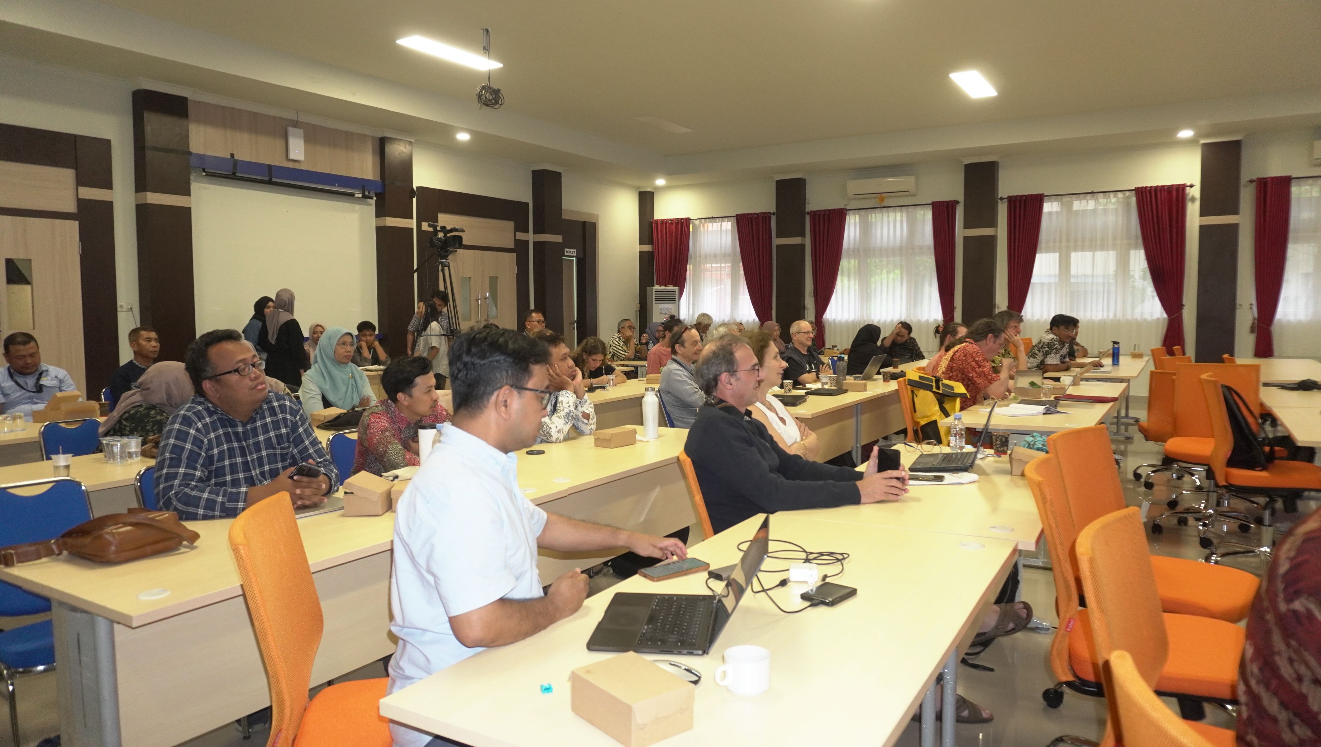
DAYS
Hours
Minutes
Seconds
image image image
image
"From Hazard Geosciences to Disaster Risk Reduction"

Scientific Presentation

  • Tsunami Hazards and Mitigation
  • Earthquake and Tectonics Process
  • Volcanoes Eruption Mitigation
  • Understanding Cascading Hazards: Lessons Learned from the 2025 Senyar Cyclone
  • DAYS
    Hours
    Minutes
    Seconds
    image image image
    image
    "From Hazard Geosciences to Disaster Risk Reduction"

    Master Classes

  • Training on Volcano Eruption Modeling
  • Training on Landslide Related Modeling
  • Training on Methods — Geological Analysis of Active Faults
  • Social Anthropological Approach for Geohazard Research
  • DAYS
    Hours
    Minutes
    Seconds
    image image image
    image
    "From Hazard Geosciences to Disaster Risk Reduction"

    Field Trip

  • Day 3: USK and Banda Aceh City Tour: From Tsunami Catastrophe to Conflict Resolution
  • Day 5: Volcanoes and Fault Systems, Earthquake Monitoring, and Early Warning Systems
  • DAYS
    Hours
    Minutes
    Seconds

    about us

    About Our Research

    Understanding and mitigating geological hazards in vulnerable regions

    The Challenge

    Subduction zones are responsible for major geohazards, such as earthquakes, tsunamis, volcanic eruptions, and landslides, posing significant risks to populated areas. The recycling of oceanic plates in the mantle drives geological processes, including magma migration and volcanic activity, which attract human settlements and development. Despite their potential impact, understanding these hazards and finding effective strategies for risk reduction remains challenging.

    Our Mission

    This research project aims to bring together experts from diverse fields to not only improve our understanding of hazards and develop advanced monitoring tools, but also to bridge the gap between scientific knowledge and practical action. The ultimate goal is to empower public authorities and communities to make informed decisions and take appropriate measures to mitigate the risks posed by these geohazards. By doing so, we seek to enhance the safety and resilience of populations in regions vulnerable to natural disasters.

    A Project on:

    Volcano observatories, eruption forecasting, hazard assessment, volcano monitoring earthquakes, seismic cycle, subduction zone, disaster risk management, adaptation, vulnerability, risk mitigation

    Work Packages

    The LMI-SIR Project is divided into five main Work Packages

    Work Package 1

    Assess the status of risk management in Indonesia, with a focus on the multi-hazard approach. Identify causal chains leading to secondary disasters and their impacts on human and socio-economic aspects.

    work package 2

    Understand past and present volcanic, seismic, and tsunami activities in Indonesia for better hazard assessment and operational monitoring.

    work package 3

    Investigate how people adapt to risky environments and how their exposure to risk influences risk perception. Explore the impact of adaptation on people`s response to policies, such as protection and disaster risk reduction measures.

    work package 4

    Identify factors that hinder efficient disaster risk reduction in multi-risk scenarios, considering technical, cultural, organizational, and communicational aspects. Improve the integration of scientific knowledge into decision-making processes.

    work package 5

    Provide continuous training to transfer research results effectively to operational actors involved in disaster risk management.

    Partners
    last year memory

    Recent Memories 2025

    How to reach

    Direction To The Venue

    00 DAYS
    00 Hours
    00 Minutes
    00 Seconds

    International Joint Laboratories
    Indonesian Subduction and Associated Risks

    Our Recent Event Gallery

    © Copyright 2026 LMI-SIR & TDMRC USK. All Right Reserved